Country: British Virgin Islands
Administrative region: Prickly Pear (Province)
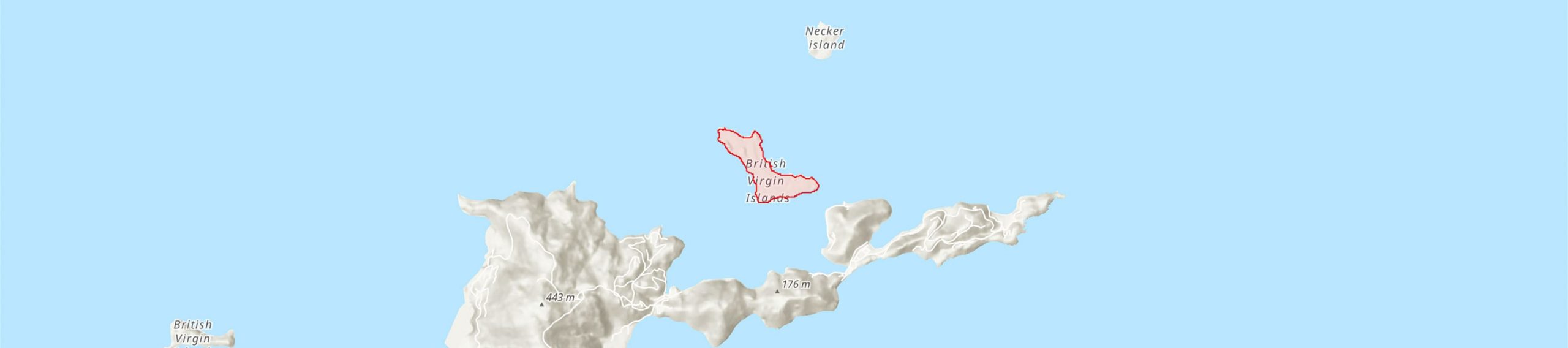
Central co-ordinates: 18.50540 N, 64.36693 W
Area: 0.72km²
Qualifying IPA Criteria
B(ii)Site contains an exceptional number of species of high conservation importance, C(iii)Site contains nationally threatened or restricted habitat or vegetation types, AND/OR habitats that have severely declined in extent nationally
IPA assessment rationale
The entire island of Prickly Pear has been identified as a TIPA for its botanical richness and nationally important Dry salt flats habitat.
Site description
Prickly Pear is in the North Sound off Virgin Gorda. The island was declared a Bird Sanctuary in 1980 and a National Park in 1988 for its important mangrove and salt pond systems, turtle nesting and avifauna. The island is undeveloped, apart from a concession area at Vixen Point.
Botanical significance
The island is rich in plant diversity with five species of national high conservation importance, qualifying under sub-criterion B(ii) for TIPAs. On the northern shore, there are populations of the Virgin Islands endemic Croton fishlockii (NT), which only grows in the BVI and on St John in the USVI. The Puerto Rico Bank endemic Agave missionum (VU) can be found in a few locations on the south of the island. Populations of Puerto Rican Bank endemics Malpighia woodburyana (VU), Psychilis macconnelliae (NT) and Tolumnia prionochila (NT) are found growing across the TIPA.
Habitat and geology
The southern side of the island from Vixen Point to Bandy Point is where three out of the four occurring salt ponds are located. Surrounding the ponds are important areas of the nationally threatened Dry salt flats habitat, identified as the third-best site for this habitat in the BVI under TIPAs sub-criterion C(iii). Two other nationally threatened habitats which occur within the TIPA did not qualify under sub-criterion C(iii), Mangroves mainly near Bandy Point and Coastal shrubland along the coast and lower hills across the island. The first habitat is very small and restricted, while the second did not represent one of the best sites, as grazing by feral goats is severe and has been very detrimental to the vegetation reducing habitat quality. The rest of the island is mostly covered by Seasonally deciduous forests and woodlands.
Conservation issues
Grazing by feral goats is damaging the vegetation extensively, but a feral goat eradication progamme is underway. Permanent monitoring plots to evaluate vegetation recovery post-eradication have been set-up by NPTVI and the Royal Botanic Gardens, Kew. Along with monitoring the vegetation recovery, activities to survey, map and monitor invasive plant species are also being carried out on the island.
Ecosystem services
Important area for its mangrove and salt pond systems, turtle nesting and avifauna. There is a hiking trail from Vixen Point to North Beach, which can provide opportunities for ecotourism and community outreach.
Site assessor(s)
BVI TIPAs National Team, Royal Botanic Gardens, Kew - National Parks Trust of the Virgin Islands - BVI Ministry of Natural Resources, Labour and Immigration
IPA criterion A species
| Species | Qualifying sub-criterion | ≥ 1% of global population | ≥ 5% of national population | 1 of 5 best sites nationally | Entire global population | Socio-economically important | Abundance at site |
|---|---|---|---|---|---|---|---|
| Agave missionum Trel. | A(i) |  |
|
|
|
|
|
| Malpighia woodburyana Vivaldi | A(i) | |
|
|
|
|
Agave missionum Trel.
Qualifying sub-criterion:
A(i)
≥ 1% of global population:
≥ 5% of national population:
1 of 5 best sites nationally:
Entire global population:
Socio-economically important:
Abundance at site:
Malpighia woodburyana Vivaldi
Qualifying sub-criterion:
A(i)
≥ 1% of global population:
≥ 5% of national population:
1 of 5 best sites nationally:
Entire global population:
Socio-economically important:
Abundance at site:
IPA criterion C qualifying habitats
| Habitat | Qualifying sub-criterion | ≥ 5% of national resource | ≥ 10% of national resource | 1 of 5 best sites nationally | Areal coverage at site |
|---|---|---|---|---|---|
| Dry Salt Flats | C(iii) | |
|
 |
Dry Salt Flats
Qualifying sub-criterion:
C(iii)
≥ 5% of national resource:
≥ 10% of national resource:
Areal coverage at site:
Bibliography
Identifying and Conserving Tropical Important Plant Areas in the British Virgin Islands (2016-2019): Final Technical Report


Recommended citation
BVI TIPAs National Team (2024) Tropical Important Plant Areas Explorer: Prickly Pear Island (British Virgin Islands). https://tipas.kew.org/site/prickly-pear-island/ (Accessed on 27/07/2024)
Acknowledgement
Map of the BVI TIPAs Network available from ArcGIS Living Atlas of the World