Country: British Virgin Islands
Administrative region: Jost Van Dyke (Province)
Central co-ordinates: 18.45157 N, 64.73655 W
Area: 1.58km²
Qualifying IPA Criteria
C(iii)Site contains nationally threatened or restricted habitat or vegetation types, AND/OR habitats that have severely declined in extent nationally
IPA assessment rationale
The area qualified as being one of the best sites for two of the nationally threatened habitats, i.e. Mangroves and Semi-deciduous gallery forest. It also contains globally threatened Puerto Rican Bank species, however these species did not qualify for the TIPAs criteria.
Site description
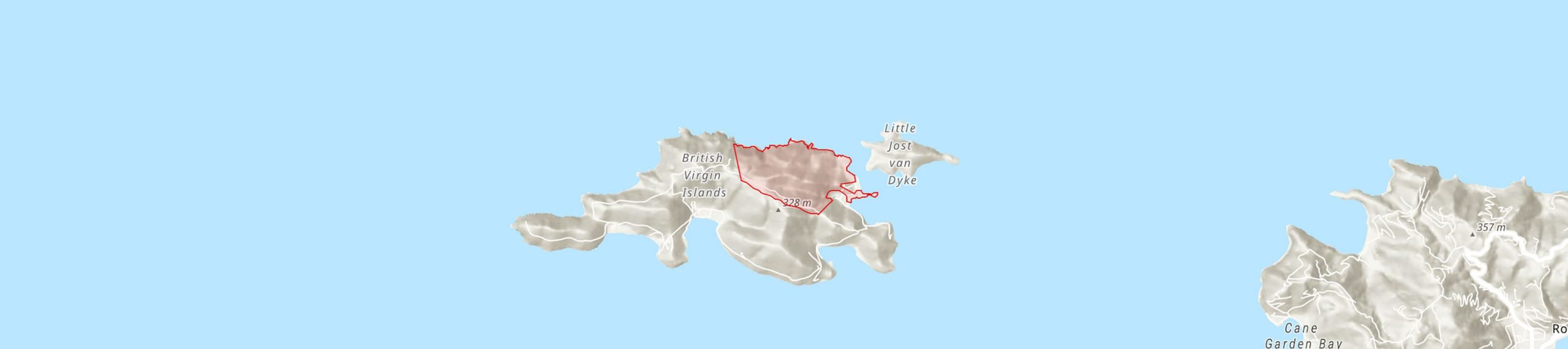
This TIPA extends from Diamond Cay in the east to Rymer Land in the West, including the north-eastern coast and hills heading up to the Mountain Trail Road at Roach Hill. It excludes developed and disturbed areas along the eastern coast.
Botanical significance
The Puerto Rican Bank endemic Malpighia woodburyana (VU), locally known as mad dog because of its irritant hairs, is present in the southern edge of the TIPA. Two other globally threatened Puerto Rican Bank endemics Erythrina eggersii (EN) and Bastardiopsis eggersii (EN) have been recorded as occurring in the general area; however, these literature records were not considered when applying TIPAs criterion A.
Habitat and geology
The south eastern end of the TIPA, including Diamond Cay and East End Harbour, was identified as the fifth best site in the BVI for the nationally threatened Mangroves habitat, qualifying the TIPA under sub-criterion C(iii). Mangroves are also found around the salt pond at Cape Wright, and at the pond’s southern edge Dry salt flats are present, but these did not qualify for TIPAs criterion C. The TIPA also qualified as the third best site for the nationally threatened Semi-deciduous gallery forest habitat, with Jost van Dyke having the third largest area (5.81%) in the BVI of this habitat. Inside the TIPA, these forests are found along Great Ghut and Brown Ghut. Coastal shrublands are also present along the coast but did not qualify for the criteria. Most of the area is covered in Seasonally deciduous forests and woodlands.
Conservation issues
Threats to this TIPA include urban development, extraction, clearance for farming (including illegal crops), invasive species and feral animals.
Ecosystem services
Diamond Cay on the south eastern tip of this TIPA was declared a National Park in 1991 for its Caribbean dry forests, nesting sites for leatherback turtles, presence of 23 bird species, and for its coral reef.
Site assessor(s)
BVI TIPAs National Team, Royal Botanic Gardens, Kew - National Parks Trust of the Virgin Islands - BVI Ministry of Natural Resources, Labour and Immigration
IPA criterion C qualifying habitats
| Habitat | Qualifying sub-criterion | ≥ 5% of national resource | ≥ 10% of national resource | 1 of 5 best sites nationally | Areal coverage at site |
|---|---|---|---|---|---|
| Mangroves | C(iii) |  |
|
 |
|
| Semi-deciduous Gallery Forest | C(iii) | |
|
|
Mangroves
Qualifying sub-criterion:
C(iii)
≥ 5% of national resource:
≥ 10% of national resource:
Areal coverage at site:
Semi-deciduous Gallery Forest
Qualifying sub-criterion:
C(iii)
≥ 5% of national resource:
≥ 10% of national resource:
Areal coverage at site:
Bibliography
Identifying and Conserving Tropical Important Plant Areas in the British Virgin Islands (2016-2019): Final Technical Report


Recommended citation
BVI TIPAs National Team (2024) Tropical Important Plant Areas Explorer: Northeastern Jost Van Dyke (British Virgin Islands). https://tipas.kew.org/site/northeastern-jost-van-dyke/ (Accessed on 27/07/2024)
Acknowledgement
Map of the BVI TIPAs Network available from ArcGIS Living Atlas of the World